 vesseltracker.com
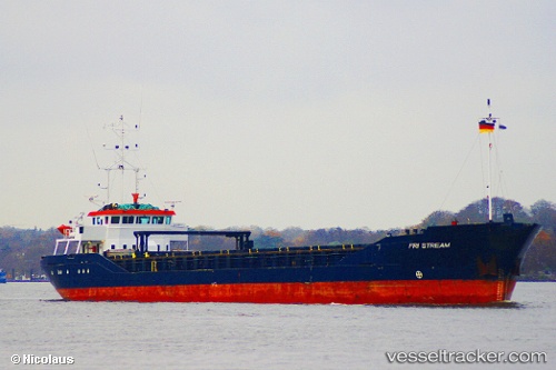
Vessel FRI ST IMO: 9115896, MMSI: 314665000 General Cargo Ship
Live AIS position:
UTC. Near Livorno),
updated 2024-07-23 07:56:22 UTC.
Find the position of the vessel FRI ST on the map. The latter are known coordinates and path.
marine traffic ship tracker show on live map
The current position of vessel FRI ST is 43.55178 lat / 10.29687 lng. Updated: 2024-07-23 07:56:22 UTCCurrently sailing under the flag of Barbados
FRI ST built in 1995 year
Deadweight:
3270 tDetails:
Last coordinates of the vessel:
2024-07-23 07:56:22 UTC, 43.55178, 10.29687, course: 228, speed: 0